Cooler weather settles into the Southland, but fire risks remain

Most Californians can expect cooler temperatures for the next few days, though a midweek switch in weather patterns is forecast to amp up winds, increasing the risk for wildfire ignition and spread.
Through Tuesday, highs in Southern California are expected to peak in the 70s and 80s, with low clouds and fog keeping some coastal areas even cooler.
But by Wednesday, an atmospheric shakeup will bring gusty winds and a small chance for rain across the state as a low-pressure system moves south from Alaska.
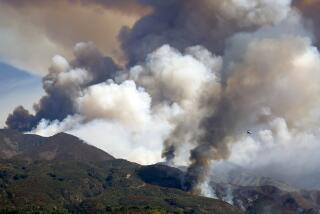
Those winds will transition into an offshore flow, creating in Southern California a “weak to moderate Santa Ana wind event,” said Rose Schoenfeld, a National Weather Service meteorologist in Oxnard. That pattern of dry winds pushing west — when accompanied by low humidity and dry brush — greatly increases the risk for fire.
Humans keep building where we shouldn’t build, experts say, heightening the danger in fire-prone landscapes subjected to dry Santa Ana winds.
“We are seeing that pattern for Friday and Saturday,” Schoenfeld said. She warned Californians to “stay aware of their actions that can reduce fire risk and prepare for some gusty winds.”
Winds along the Central Coast and Southern California mountains, deserts and some valleys could range from 30 to 50 mph Thursday through Saturday, the forecast said, with gusts of up to 65 mph possible over the Santa Barbara County mountains, the Interstate 5 corridor and Antelope Valley.
This Santa Ana pattern could also raise temperatures slightly along the coast, Schoenfeld said.
In Northern California, the new weather system will hit slightly sooner, bringing offshore winds of up to 50 mph by Thursday, the weather service said. The service has issued a fire weather watch across the Sacramento Valley and Bay Area.
“The combination of gusty winds and low humidity can cause fire to rapidly grow in size and intensity,” the warnings said.
After a summer and early fall defined by record high temperatures across interior California, forecasters warned that people need to remain vigilant about fires even if temperatures have dropped. Santa Ana winds often are most active and dangerous in autumn, sparking massive fires into late October — like the Silverado fire in 2020 — and even into November.
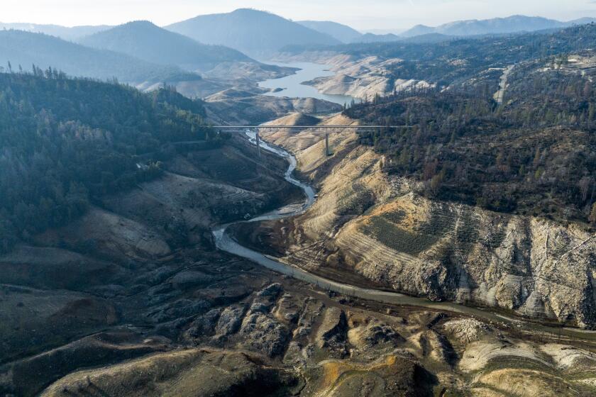
The climate pattern could plunge California back into aridity in the months ahead.
Significant wildfire potential remains a concern along Southern California’s coast at least through December, according to the National Interagency Fire Center.
While an early rainy season can help abate these fall fire concerns, National Weather Service officials are warning of a late start for any precipitation this year, given the current weather conditions and the expected La Niña, which tends to bring drier conditions to the West.
The result is likely to be sustained warmer-than-average temperatures, typical Santa Ana wind events and high wildfire potential, the National Weather Service’s San Diego office wrote in a winter outlook. “Fuel moisture in October [is] near record lows due to the prolonged heat stress and minimal monsoon precipitation.”
La Niña, the drier component of the El Niño Southern Oscillation system, is still developing in the Pacific Ocean, officials said, but if its conditions align, it could help usher in a shorter and drier winter — and possibly a return to drought.
More to Read
Sign up for Essential California
The most important California stories and recommendations in your inbox every morning.
You may occasionally receive promotional content from the Los Angeles Times.


